
Portrait captures commercial property with LiDAR and turns the scan into working data: measured plans, point clouds, digital twins and evidence packs. Every output is traceable back to the survey, priced by quotation, and delivered through the Landscape platform.
Property evidence tends to live in scattered PDFs, old plans, spreadsheets and email threads. A single measured capture replaces that patchwork with one verifiable record that finance, facilities, advisory and project teams can all draw on.
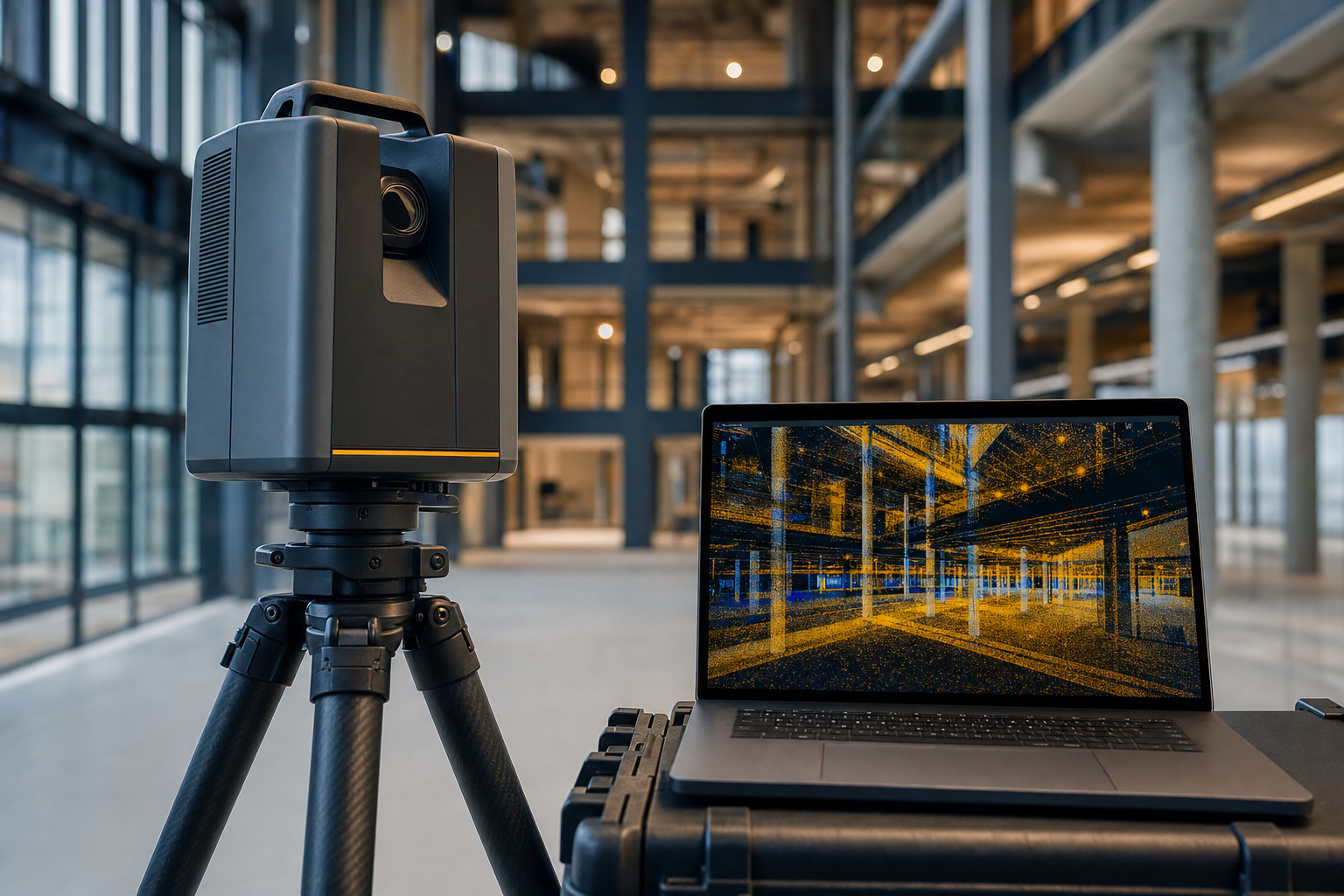
Each pack is produced from the measured capture and scoped to the job at hand. Combine them or order one.
2D as-built drawings: floor plans, elevations and sections from the point cloud.
Access, circulation and safety-relevant layout data for site and H&S planning.
Maintenance-relevant quantities: surfaces, finishes and components, measured not estimated.
Verified heights and volumes for racking, HVAC, storage and lettable area questions.
External exposures and fire separation distances mapped for insurers.
The building in the browser: point cloud and model hosted in Landscape for controlled sharing.
Surveys are quoted per property and scoped to the decision the data has to support. Send the address and the question; we come back with a price.