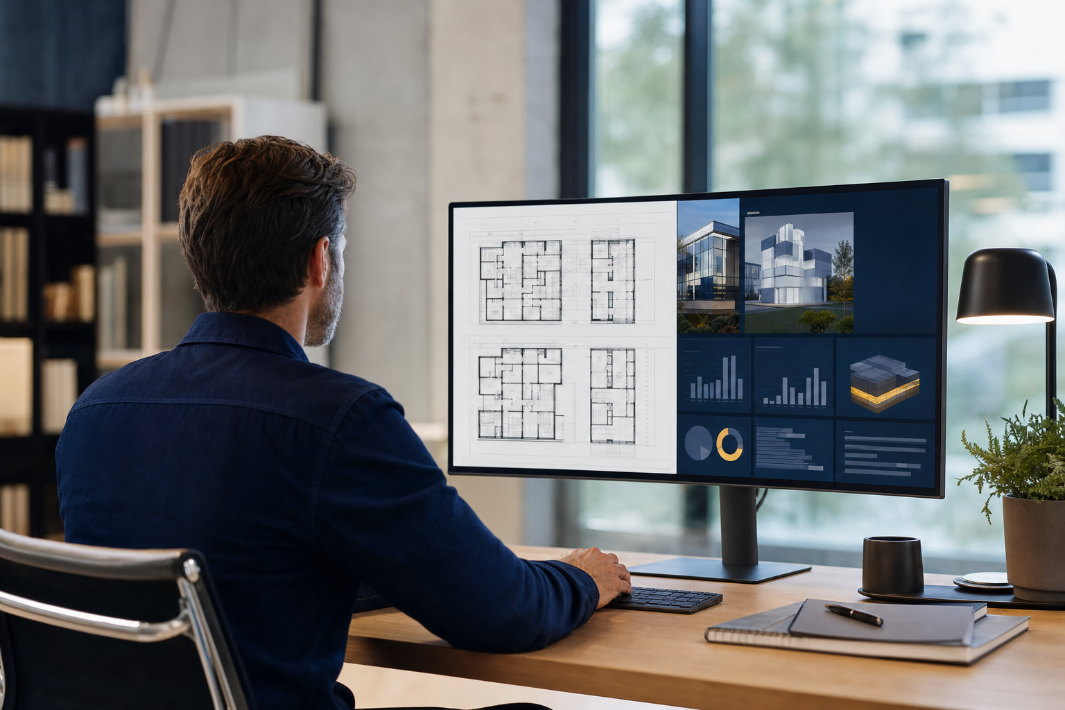
Measured property evidence, organised in one secure platform
Landscape is where Portrait clients hold and use their building evidence. LiDAR scans, point clouds, digital twins, measured plans and case documents sit in one controlled workspace, viewable in the browser and shareable on your terms.
Once a property has been scanned and processed, Landscape hosts the measured model in the browser. Inspect the building as surveyed, explore the point cloud, and grant controlled access to decision-makers, advisers and contractors. No specialist software on anyone’s desk.
Browser-based on desktop, laptop or tablet
Point clouds keep every figure traceable to the survey
Secure share links scoped to the right property and evidence set
More than a viewer
Evidence connected to its commercial purpose
Portfolio view
A clear property list per client: open the right site, see available scans, and know what has been captured and analysed.
Case documents
Findings, evidence packs and correspondence for rates, drainage and insurance cases held alongside the measured data they rest on.
Next steps
Each property shows which reviews are available or in progress, so the platform reflects where matters actually stand.
See your buildings in Landscape
Landscape access comes with Portrait engagements. Book an assessment and the evidence we produce arrives in your portal, not a zip file.